Culture


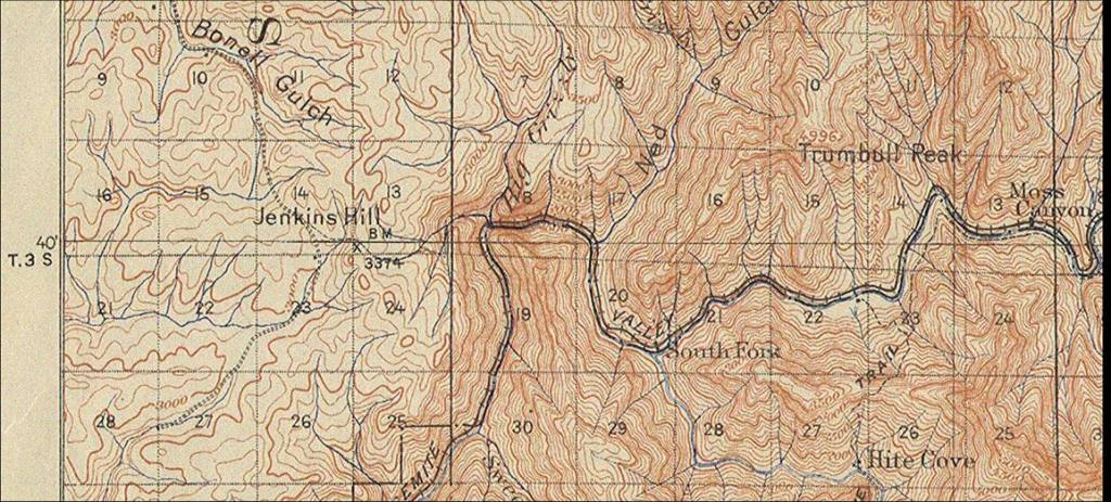
Physical environmental characteristics are identified during field survey that may indicate human influences that can be traced through interview and research to an ealrier culture.

In the Sierra Nevada and Central Sierra foothills there are many such geographic regions that have been identified for their native plants, riparian habitats, and historic content.

Geographic Information System (GIS) mapping analysis has been employed to identify these regions. Populations and occupants of the many identifiable village areas are documented here.

Transformational Village Structures
This Indian Village from the late 1800s ended its occupation around 1929 when Indian removal occurred. Photograph from the Southern Sierra Miwuk Nation archives courtesy of the Yosemite Research Library. The name of the village was Yawokachi.
Pre-1850 Village Structures
In 1872 there was a gathering of some of the village inhabitants on the banks of the Merced River. This photograph is titled  "A Morning Council on the Merced" and is the property of the Yosemite Research Library loaned to the Southern Sierra Miwuk Nation archives. Some of the individuals in the photograph have been named by the Elders of the American Indian Council and named in their records.
Assimilated Village Structures
The Indian removal occurring here began an assimilation era cabin for rent occupation reserved only for productive empolyed individuals. The criteria was met when an Indian occupant was employed by the governmnet. Other occupants were allowed when they were related to the employed individual.
This photograph is the property of the Yosemite Research Library on loan to the Southern Sierra Miwuk Nation archives and shows the village called New Indian Village on the ancient village site named Wah-ho-gah in 1932.
Photograph of the regulator at the Crocker Huffman Canal in 1898. At this location in 1852 there was a congregated government Indian gathering location place (or transformational village) during the 1850-1860s. The ancient village  which existed pre-gold rush was reported to be called " Oopla" on the north side, a Coocoonoon village, and "Tcai'capo" on the south side. Carl Grundsky included these pictures in his report of the "Irrigation Near Merced, California" he published in 1899 for the US Geological Survey, with the document retreived from the American Geographical Society Library, Milwaukee, Wisconsin and housed in the Southern Sierra Miwuk archives.


FreeSiteDesigner.com